Conquering Mount Rinjani
Your Essential Trekking Guide
Planning to trek Mount Rinjani, Indonesia's second-highest volcano? Get ready for an
unforgettable adventure amidst stunning landscapes and breathtaking vistas! Whether you're a
seasoned trekker or a first-timer, a good trekking map is your key to navigating the trails,
understanding the terrain, and making the most of your Rinjani experience. Here's your essential
guide to conquering Mount Rinjani:
Understanding Mount Rinjani's Majesty
Towering at 3,726 meters (12,224 feet), Mount Rinjani dominates the island of Lombok. It's part
of Mount Rinjani National Park, boasting a vast caldera that holds incredible features like
Segara Anak, a beautiful crater lake, and Gunung Baru Jari, an active volcanic cone.
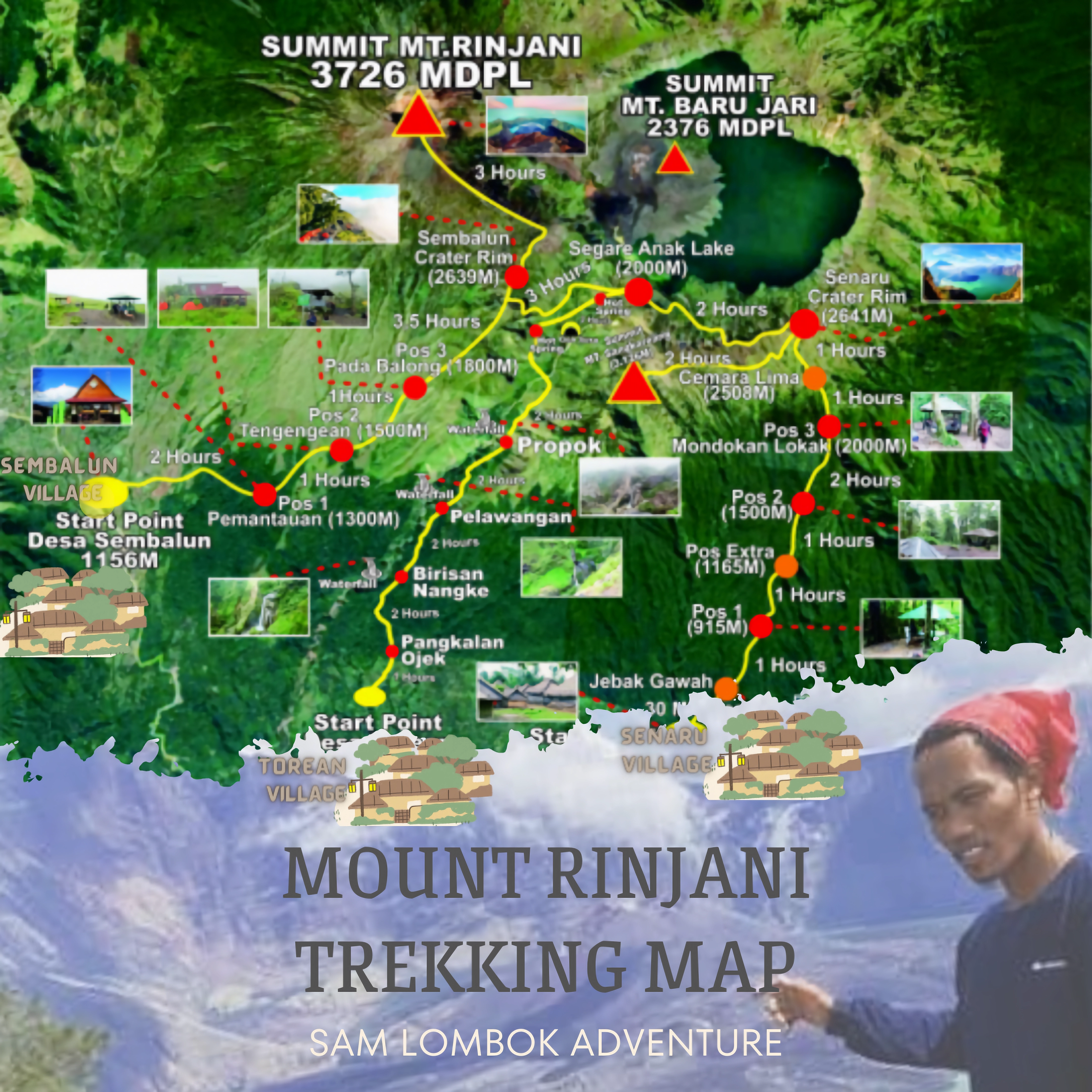
Trekking Routes and Key Points of Interest
A good trekking map will show the main routes and landmarks:
-
Sembalun Route: This popular route starts in Sembalun Lawang, a charming village surrounded
by fields. Highlights include:
- Sembalun Crater Rim: Offering panoramic views of Segara Anak lake.
- Rinjani Summit: The highest point, rewarding you with stunning sunrises.
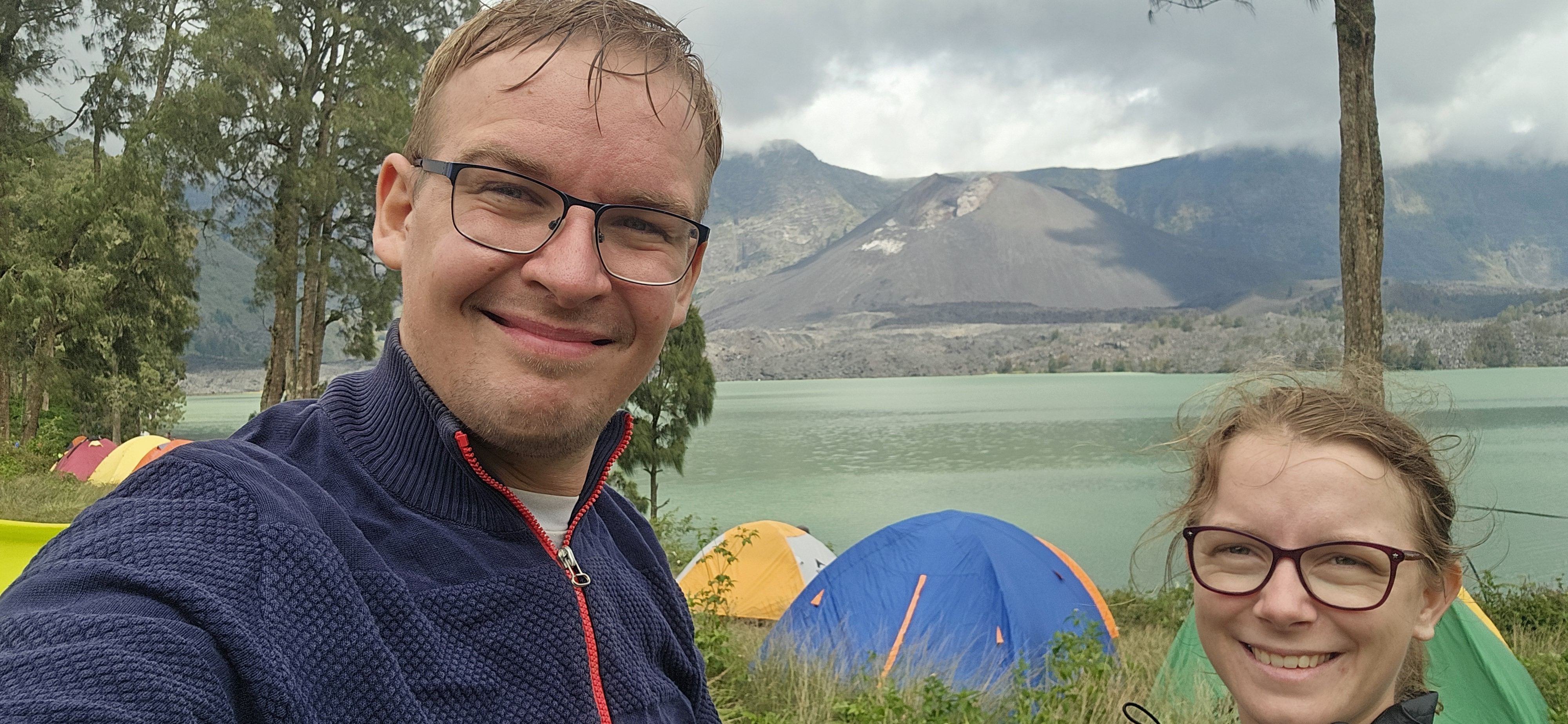
- Segara Anak Lake: A breathtaking crater lake within the caldera.
- Hot Springs: Relaxing natural hot springs near the lake.
- Senaru Rim: Enjoy more captivating views before descending.
- Senaru Route: Lush rainforests and waterfalls mark the starting point at Senaru Village. Key
points include:
- Plawangan Senaru: A ridge with panoramic views of the crater and summit.
- Segara Anak Lake: Take a refreshing swim in this pristine lake.
- Sembalun Crater Rim: Connect with the Sembalun route for the descent.
-
Timbanuh Route: This off-the-beaten-path option offers a unique experience:
- Traditional Sasak Villages: Interact with local communities and learn about their
culture.
- Remote Valleys: Trek through enchanting valleys and lush forests.
- Senaru Rim: Eventually joins the Senaru route for the full Rinjani experience.
Why a Trekking Map Matters
A trekking map is your essential guide on Mount Rinjani's diverse terrain. It helps you:
- Navigate the Trails: Stay on the right path and avoid getting lost.
- Understand Elevation Changes: Prepare for climbs and descents.
- Identify Key Landmarks: Locate campsites, water sources, and other important points.
- Make Informed Decisions: Plan your trek effectively based on distance and difficulty.
- Stay Safe: Knowing your location and having a backup plan is crucial.
Where to Find Your Trekking Map
Here are some options:
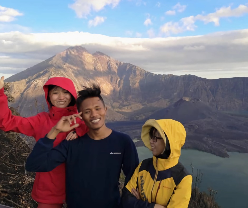
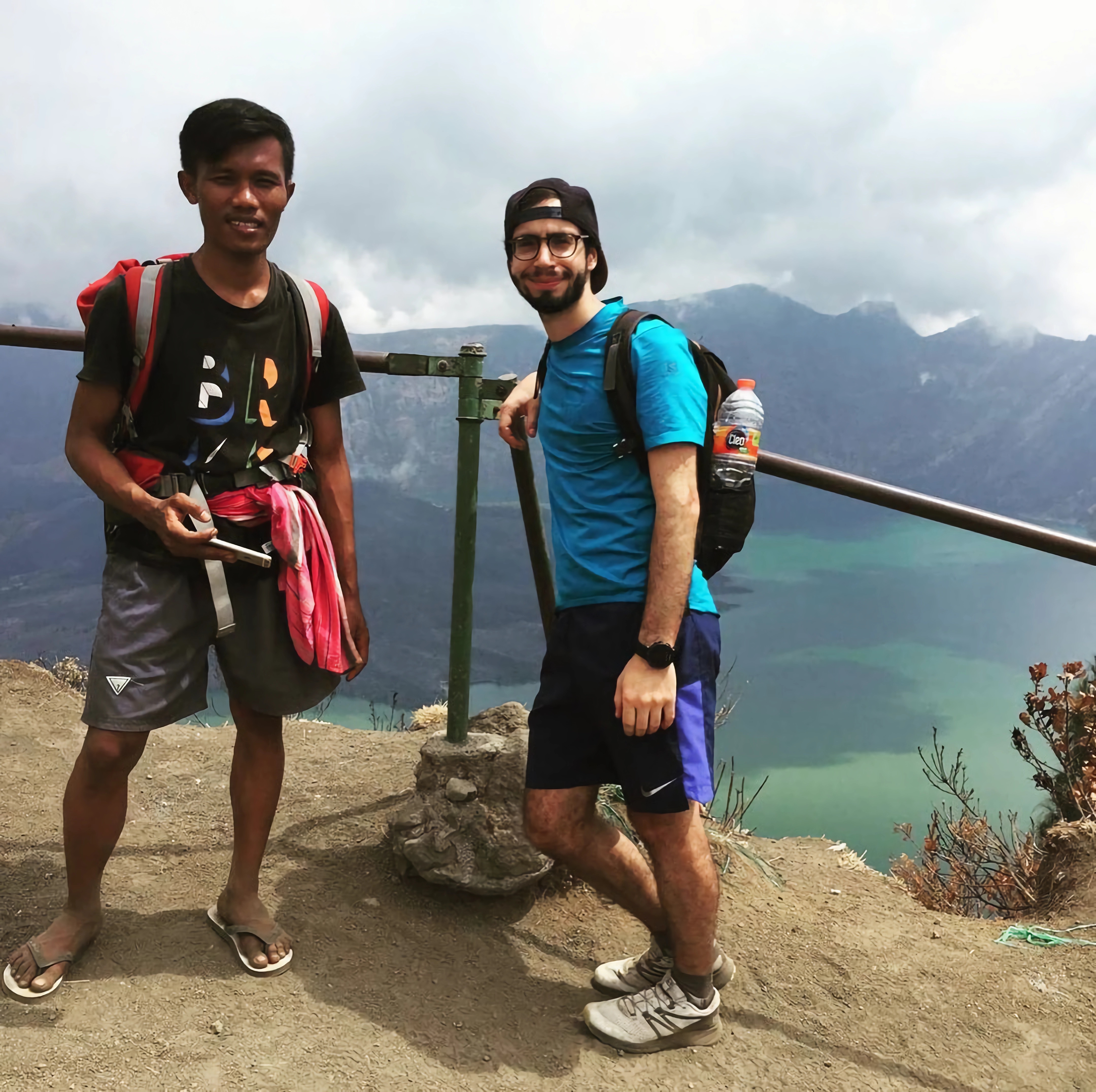
- Trekking Organizers: Reputable companies like "Sam Lombok Adventure" often provide maps
and experienced guides.
- Local Visitor Centers: Visitor centers may have maps and other resources.
- Online Resources: Websites and apps offer downloadable maps and information for Mount
Rinjani.
Ready to embark on this incredible journey?
Contact Sam Lombok Adventure today! We'll provide you with a detailed itinerary, answer all
your questions, and ensure you have everything you need to conquer Mount Rinjani with
confidence. Don't miss out on this once-in-a-lifetime opportunity – let Sam Lombok Adventure
be your guide to the top!